Hafnarfjall Return Hike
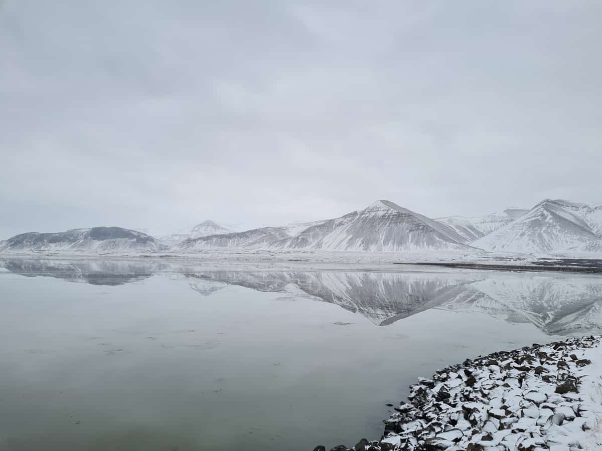
Hafnarfjall is an 884 m. tall mountain about 4 km. South-east of Borgarnes, close to Vesturlandsvegur road. The mountain is mentioned in the “Book of the Settlement” and the area of Skallagrímur, the settler, reaches all the way there.
Price
From 12.499 ISK per person
Availability
All year – Fridays (as conditions allow)
Duration
3-4 hours
Skill level
Challenging
Departure
About the hike
Hafnafjall is very steep with landslides and the hills are barren. It forms part of a volcano active four million years ago by Skarðsheiði. It is mainly formed by basalt, but on the north side of the mountain, there are some light-colored rocks made out of granophyll, called Flyðrur. There above lays the highest peak of the mountain, Gildalshnjúkur. Hiking on Hafnafjall takes about three hours both ways, and the easiest hike lies from the northern side of the bridge or south of the foot of the hill, north of Ölver.
Total hiking time is about 3 hours from the car park with a 774 m—elevation and a distance of about 8 km.
Book now

Meeting point
The meeting point is at the Hafnarfjall parking lot.
Meeting point
The meeting point is at the Hafnarfjall parking lot.